The distinction between Terrestrial Scanners and SLAM Scanners lies in their operational principles, intended applications, and the scenarios in which they are most effective. Let’s delve into the key differences:
Operating Principle
Terrestrial Scanners:
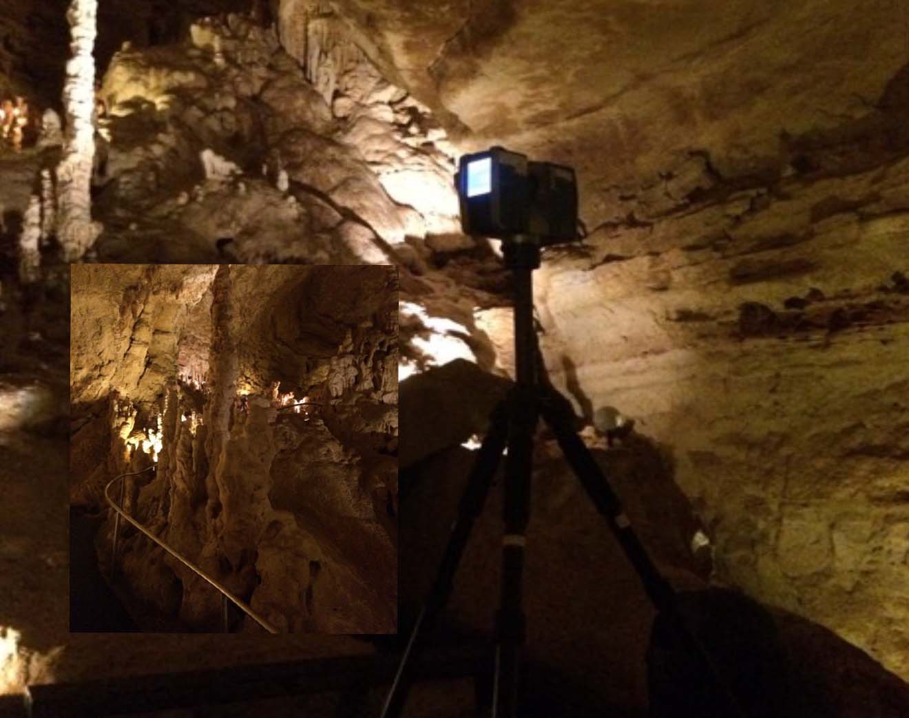
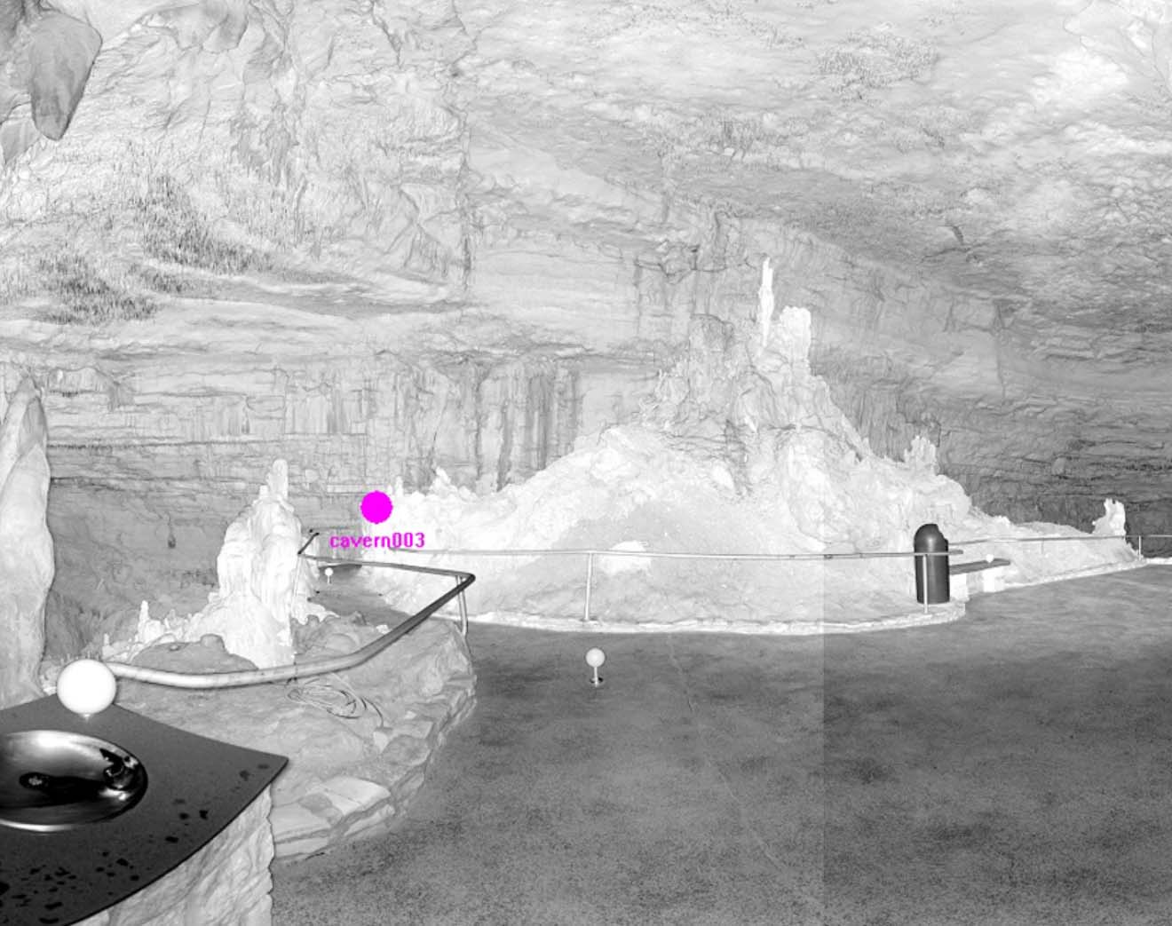
Terrestrial scanners are stationary devices designed to capture 3D data from a fixed position. They typically use LiDAR sensors to create highly detailed structured 3D images. The result is a dense gridded point cloud of the 3D image, collecting both position, color, and reflectivity of the surrounding environment. Individual scan positions are combined to produce a homogenous point cloud.
SLAM Scanners:
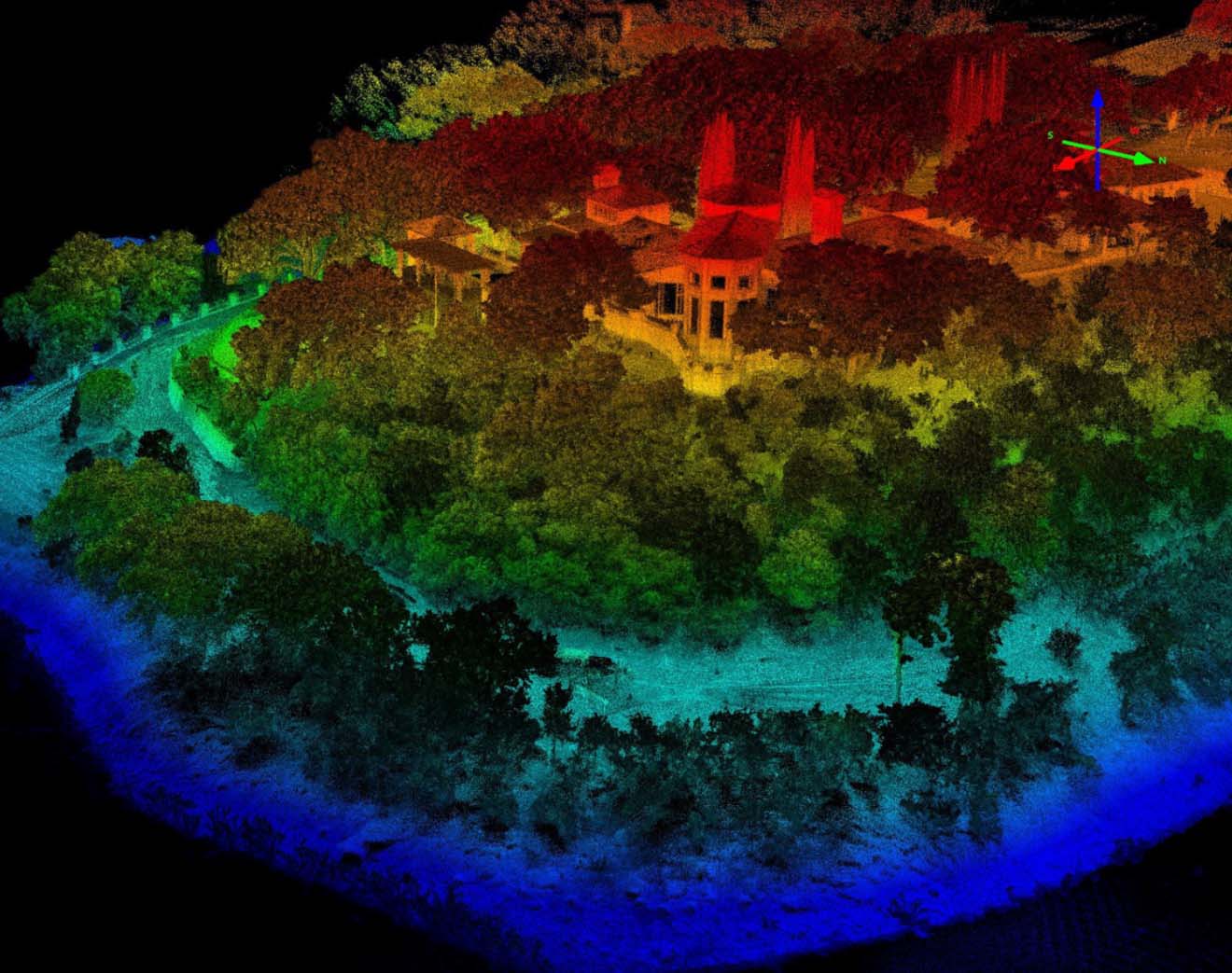
SLAM scanners incorporate Simultaneous Localization and Mapping algorithms to create a map of an environment while determining the position of the sensor in real time. They often use depth-sensing technologies such as LiDAR or RGB-D cameras and employ complex algorithms to navigate and map dynamic environments.
Applications
Terrestrial Scanners:
Terrestrial scanners are commonly used in applications that require detailed, high-precision static 3D representations. They excel in scenarios like land surveying, architecture, civil engineering, and cultural heritage preservation where the scanner can be fixed and capture detailed data.
SLAM Scanners:
SLAM scanners are well-suited for applications where real-time mapping and localization in dynamic environments are essential. They find applications in robotics, autonomous vehicles, and augmented reality systems, where the scanner needs to adapt to changes in the environment and continuously update its map and position.


Mobility
Terrestrial Scanners:
These scanners are generally stationary and are mounted on tripods or fixed platforms. They are not designed for mobility during the scanning process.
SLAM Scanners:
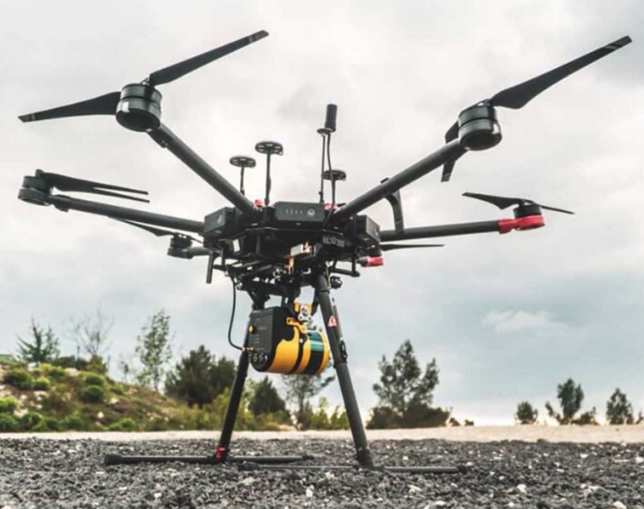
SLAM scanners are designed to operate while in motion, allowing them to adapt to changing environments and capture data in real-time as the scanner moves through space.
Dynamic Environments
Terrestrial Scanners:
Terrestrial scanners are suitable for capturing static scenes or objects and are not optimized for scenarios with significant changes or movement.
SLAM Scanners:
SLAM scanners are specifically designed for dynamic environments, making them effective in scenarios where the scanner or the objects being scanned are in motion.


…The choice between the two depends on the specific requirements of the application and the nature of the environment being scanned.
In summary, terrestrial scanners are stationary devices used for capturing detailed 3D data from fixed positions, while SLAM scanners incorporate real-time mapping and localization capabilities, making them suitable for dynamic environments where the scanner itself may be in motion. The choice between the two depends on the specific requirements of the application and the nature of the environment being scanned.
